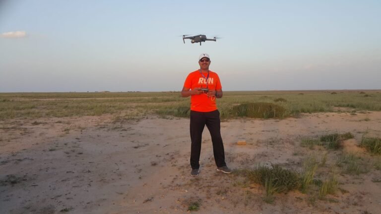
The workshop offers hands-on experience in utilizing drone technology for environmental geomorphology applications. This workshop focuses on advanced aerial surveying techniques to monitor and analyze topographical changes, landform dynamics, and natural surface processes. Participants will gain practical skills in operating drones to collect high-resolution data. Additionally, the workshop will cover geospatial analysis techniques for assessing environmental hazards, managing natural resources, and supporting sustainable urban planning. This training is an excellent opportunity for researchers, environmental scientists, and geographers to develop expertise in leveraging drone technology for precise geomorphological studies and environmental assessments.